
I pulled over somewhere east of Monroe Station because there was a red-shouldered hawk on a fence post twelve feet from the road and it had no intention of moving, and I had no particular reason to hurry. That is the thing the Tamiami Trail does if you let it. It removes the reasons to hurry. The road runs straight across the top of the Everglades for a hundred miles, two lanes, no median, the sawgrass beginning where the shoulder ends, the sky larger than most people are prepared for, and the experience of driving it slowly is so different from driving it at speed that they are effectively two different roads.
Most people drive it at speed. I understand why. The Tamiami Trail connects Miami to Naples, two cities with airports and hotels and the full infrastructure of places that expect you to arrive, and the hundred miles of river of grass between them reads on a map as distance to be covered rather than country to be in. The speed limit is reasonable. The road is flat and straight. If you are going somewhere, you can be there in two hours and the Everglades will have passed at seventy miles an hour as a green blur on either side, which is a way of driving through one of the great ecosystems on the continent without technically having been in it.
The full Trail, properly driven, is a different proposition. It begins in Miami and ends in Naples, or begins in Naples and ends in Miami depending on your direction, but the meaningful section, the one that passes through the Everglades and connects to Everglades City via State Road 29 heading south, is the part that most road trip itineraries summarise in a sentence and then move past. I have driven it in sections over many years and in its entirety three times, and what I know about it now that I did not know the first time is that the road requires a different relationship to time than most American driving does.
The Big Cypress National Preserve begins west of Shark Valley and the landscape shifts without announcing itself. The sawgrass gives way to cypress strands, the low trees standing in water with their knees exposed at the dry season waterline, and the light through them in the late afternoon is the kind of thing that stops you if you are paying attention. Monroe Station, which is now a preserved ruin, was once a gas station and rest stop on this stretch, one of the few places along the road where you could stop and be in the landscape rather than passing through it. It closed decades ago. What replaced it in terms of infrastructure is essentially nothing, which is either a failure of planning or an act of preservation depending on how you think about the relationship between roads and the land they cross.
What surprised me on my most recent full drive was a conversation I had at the Oasis Visitor Center, which sits at the edge of Big Cypress roughly in the middle of the difficult section. I had stopped to look at the alligators in the canal beside the road, which congregate there in numbers that are startling the first time you see them, twenty or thirty animals visible at once in a stretch of water not much wider than the road itself, and I got talking with a man from Ohio who had driven the Trail specifically because he had read that it was a great American road trip and he wanted to do it properly. He was, he said, disappointed. He had expected something more organised. He had expected pullouts with interpretive signs and a sequence of designated viewpoints and a clear sense of what he was supposed to be seeing and when. He said the road felt unfinished.
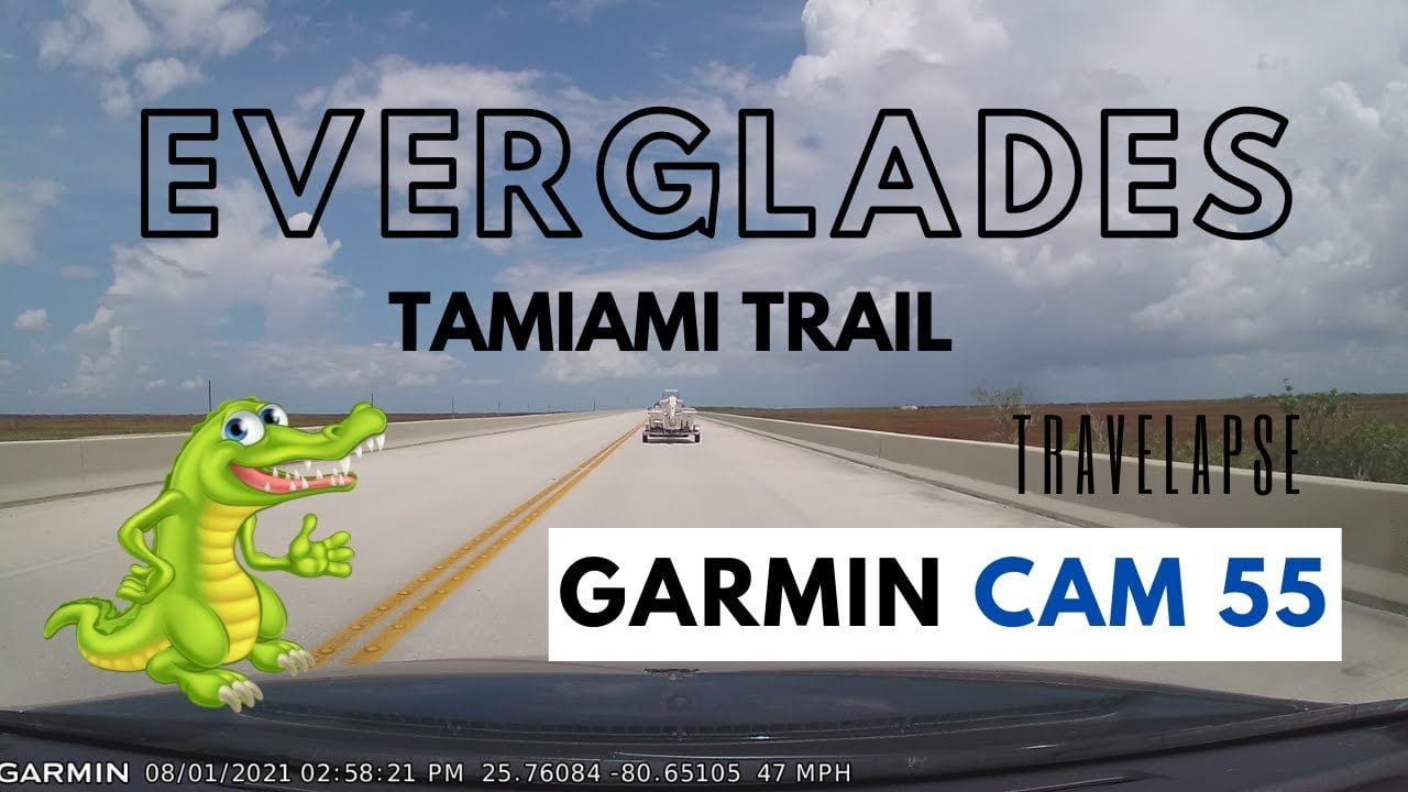
I thought about that for a long time afterward. The road is finished. The road is precisely as finished as it needs to be. What he wanted was the infrastructure of interpretation, the apparatus that tells you where to look and what it means, and the Tamiami Trail through the Everglades does not provide that, because the Everglades does not organise itself around viewpoints. The snail kite that crosses the road low and fast over the water is not at a designated snail kite observation area. The otter I watched cross the road near Carnestown was not scheduled. The cypress dome that turns gold in the November light at four in the afternoon is not marked on any sign I have seen.
Everglades City is at the end of State Road 29, south of the Tamiami Trail, and it is in some ways the correct conclusion to the drive if you understand what the drive is. The town has the same relationship to infrastructure that the road has. It provides what is necessary and does not apologise for providing nothing more. The road narrows as you approach it and the signal on your phone becomes unreliable and then you are at the water and there is nowhere further to go.
The people who find the Tamiami Trail disappointing are the people who needed it to meet them halfway. The road does not do that. Neither does the landscape it crosses. Neither, in the end, does Everglades City.
That consistency is not a flaw in any of the three. It is the only honest thing they have in common.
Donald Reeves writes about Everglades City the way the place deserves to be written about: without the brochure language, without the manufactured wonder, and without pretending that a town of 400 people sitting at the edge of a swamp is something it is not.
He has spent considerable time in Collier County’s oldest settlement, arriving during stone crab season when the waterfront smells of brine and work, and returning in the off-season when the tourists are gone and the town goes quiet in the particular way that only genuinely remote places can. He has paddled the mangrove tunnels of the Ten Thousand Islands, eaten at places with no hours posted on the door, and spoken at length with fishing guides who navigate these waters by memory rather than chart.
His writing on Everglades City FL covers everything from tidal fishing conditions and kayak trails to lodging, local history, and the complex past that most Florida travel content carefully avoids.
He writes to give readers the honest version.