
Oklahoma City is the capital and largest city of Oklahoma. It sits in the central part of the state at coordinates 35.4676° N, 97.5164° W, at an elevation of 1,198 feet above sea level. It is primarily located in Oklahoma County and is served by 4 major interstate highways: I-35, I-40, I-44, and I-240.
For related reading, see Oklahoma City Zip Code: Complete List and Map of All 75 OKC Zip Codes.
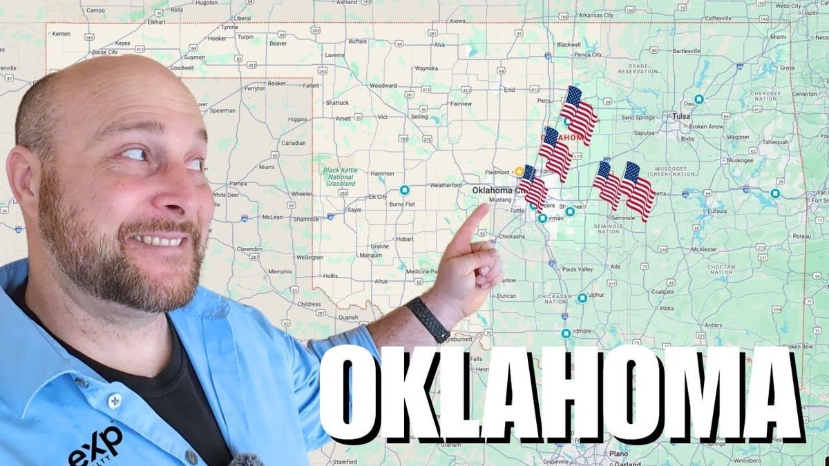
Where Is Oklahoma City Located?
Oklahoma City is located in the central part of Oklahoma, in the south-central region of the United States. <br> It sits near the geographic transition between the southern and central United States, approximately 200 miles north of the Dallas–Fort Worth metro area in Texas.
Oklahoma City covers an area of approximately 620 square miles. Its downtown sits in the central part of the metropolitan zone, surrounded by neighboring cities such as Edmond, Norman, and Shawnee.
The city was founded on April 22, 1889, and incorporated on July 15, 1890.
What County Is Oklahoma City OK In?
Oklahoma City is primarily located in Oklahoma County. However, due to its 620-square-mile footprint, it also extends into 3 additional counties: Canadian County, Cleveland County, and Pottawatomie County.
Oklahoma County is located in the central part of Oklahoma and is the most populous county in the state, with a 2020 census population of 796,292 and a 2025 estimate of 822,125. Oklahoma City serves as the county seat.
Oklahoma County covers 718 square miles of total area, with 708.82 square miles of land and 9.6 square miles of water.
What Are Oklahoma City's GPS Coordinates?
The GPS coordinates of Oklahoma City are 35° 28′ 3.216″ N and 97° 30′ 59.1408″ W, or in decimal format: 35.4676° N, 97.5164° W. The elevation is 366 meters (1,198 feet). The time zone is America/Chicago (Central).
What Is the Address of Oklahoma City?
The central municipal address for Oklahoma City is:
Oklahoma City City Hall 200 N Walker Ave, Oklahoma City, OK 73102
Oklahoma City uses ZIP codes ranging from 73101 to 73196, covering all districts of the city. The primary area codes are 405 and 572. The official city website is okc.gov.
What Interstates Run Through Oklahoma City?
Oklahoma City is where the major highways converge — Interstates 35, 40, and 44 all meet within the city. A fourth route, I-240, forms a southern auxiliary loop.
The 4 interstates that run through Oklahoma City are:
| Interstate | Direction | Route Connects |
|---|---|---|
| I-35 | North–South | Dallas, TX → Wichita, KS → Kansas City, MO |
| I-40 | East–West | Amarillo, TX → OKC → Little Rock, AR |
| I-44 | Southwest–Northeast | Lawton, OK → OKC → Tulsa, OK → Joplin, MO |
| I-240 | East–West (auxiliary) | Southern OKC loop, connects I-35, I-40, I-44 |
I-40 runs just south of downtown Oklahoma City on a 10-lane section and interlines with I-35 at the Dallas Junction complex, forming a 2-mile concurrency.
I-44 connects 3 of Oklahoma's largest cities: Oklahoma City, Tulsa, and Lawton. Most of I-44 in Oklahoma is a toll road.
How Far Is Oklahoma City from Major US Cities?
The table below shows driving distances and approximate travel times from Oklahoma City to 7 major cities:
| Destination | Driving Distance | Drive Time | Primary Route |
|---|---|---|---|
| Tulsa, OK | 106 miles | 1 hr 40–54 min | I-44 E |
| Dallas, TX | 205 miles | 3 hr 15–20 min | I-35 S |
| Wichita, KS | 160 miles | 2 hr 32 min | I-35 N / US-81 N |
| Kansas City, MO | 352 miles | 4 hr 50 min | I-35 N |
| Houston, TX | 446 miles | 6 hr 54 min | I-35 S / I-45 S |
| Denver, CO | ~800 miles | ~11 hr | I-40 W / I-25 N |
| Little Rock, AR | ~335 miles | ~4 hr 45 min | I-40 E |
Source: distance-cities.com, Wanderlog, Trippy.com (2025–2026)
How Far Is Oklahoma City to Tulsa OK?
The driving distance from Oklahoma City to Tulsa is 106 miles via I-44. The drive takes approximately 1 hour 54 minutes non-stop. The halfway point is Davenport, OK, situated 52 miles from Oklahoma City and 57 miles from Tulsa.
The straight-line (air) distance between Oklahoma City and Tulsa is 97.6 miles. The route passes through Sapulpa and Warwick. Tolls apply on parts of the I-44 route.
There are 3 transport options between OKC and Tulsa:
- Car (I-44 E): 106 miles, 1 hr 40–54 min
- Bus (Greyhound): approx. 2 hr 30 min
- Flight (private): 98 miles, ~42 min air time
How Far Is Oklahoma City from Dallas?
The driving distance from Oklahoma City to Dallas is 209 miles via I-35 S. The drive takes approximately 3 hours 20 minutes non-stop. The halfway point is Ardmore, OK.
As the crow flies, it is 190 miles between Oklahoma City and Dallas. Interstate 35 is the main route connecting the 2 cities. Tolls of approximately $6 apply on some sections.
How Far Is Oklahoma City from Houston?
The driving distance from Oklahoma City to Houston is 446 miles, with a drive time of approximately 6 hours 54 minutes in normal traffic. Dallas lies approximately 3 hours from Oklahoma City along this route.
The fastest route is I-35 S to Dallas, then I-45 S to Houston.
How Far Is Oklahoma City from Kansas City?
The driving distance from Oklahoma City to Kansas City is 352 miles, with a drive time of approximately 4 hours 50 minutes in normal traffic. Wichita is the most popular city on the route, sitting approximately 2 hours from Oklahoma City and 3 hours from Kansas City.
The primary route is I-35 North through Wichita, KS, then continuing north to Kansas City, MO.
How Far Is Oklahoma City from Wichita?
The road distance from Wichita, KS to Oklahoma City is 160 miles. The drive takes approximately 2 hours 32 minutes.
I-35 South is the direct route between the 2 cities.
How Far Is Oklahoma City from Nearby Oklahoma Cities?
The table below shows driving distances from Oklahoma City to 7 nearby cities within Oklahoma:

| City | Driving Distance | Drive Time | Direction |
|---|---|---|---|
| Edmond, OK | 13 miles | ~18 min | North |
| Moore, OK | 9 miles | ~15 min | South |
| Norman, OK | 17 miles | ~22 min | South |
| Yukon, OK | 14 miles | ~18 min | West |
| Mustang, OK | 13 miles | ~18 min | Southwest |
| Lawton, OK | 80 miles | ~1 hr 10 min | Southwest (I-44) |
| Tulsa, OK | 106 miles | ~1 hr 50 min | Northeast (I-44) |
Source: distance.to, Travelmath (2025–2026)
Edmond is 21 km (13 miles) from Oklahoma City. Norman is 28 km (17 miles) south. Mustang and Yukon are each approximately 21–23 km (13–14 miles) from the city center.
What Time Zone Is Oklahoma City In?
Oklahoma City operates on Central Time (CT). It observes:
- Standard time (CST): UTC–6 (November to March)
- Daylight saving time (CDT): UTC–5 (March to November)
Oklahoma City and Tulsa share the same time zone. Both cities are on Central Time year-round.
What Is the Population and Size of Oklahoma City?
Oklahoma City covers 620.79 square miles (1,607.83 km²) of total area, making it one of the largest US cities by land area. The 2020 census population was 681,054. The 2025 estimate is 719,849, ranking it 21st in the United States and 1st in Oklahoma. The metro area population is 1,512,242, ranking 42nd in the US. The metro GDP is $100.054 billion (2023).
What Are the Neighboring Counties of Oklahoma City?
Oklahoma City spans 4 counties:
| County | Role | 2020 Population |
|---|---|---|
| Oklahoma County | Primary county; city is county seat | 796,292 |
| Canadian County | Western portion of city limits | 161,611 |
| Cleveland County | Southern portion (includes Norman) | 293,722 |
| Pottawatomie County | Eastern portion | 72,592 |
Source: U.S. Census Bureau (2020)
Oklahoma County is the core administrative county. The Oklahoma County Courthouse is located in downtown Oklahoma City.
What Is the Geographic Position of Oklahoma City Within the US?
Oklahoma City sits near the center of the contiguous United States. It is:
- 200 miles north of Dallas–Fort Worth, TX
- 350 miles south of Kansas City, MO
- 160 miles south of Wichita, KS
- 106 miles southwest of Tulsa, OK
- Approximately 1,300 miles from both the Atlantic and Pacific coastlines
Interstates 35, 40, 44, and 240 serve the city. Oklahoma City lies near the geographic transition between the southern and central United States. This central position makes it a logistics and distribution hub for the south-central US.

Donald Reeves writes about Everglades City the way the place deserves to be written about: without the brochure language, without the manufactured wonder, and without pretending that a town of 400 people sitting at the edge of a swamp is something it is not.
He has spent considerable time in Collier County’s oldest settlement, arriving during stone crab season when the waterfront smells of brine and work, and returning in the off-season when the tourists are gone and the town goes quiet in the particular way that only genuinely remote places can. He has paddled the mangrove tunnels of the Ten Thousand Islands, eaten at places with no hours posted on the door, and spoken at length with fishing guides who navigate these waters by memory rather than chart.
His writing on Everglades City FL covers everything from tidal fishing conditions and kayak trails to lodging, local history, and the complex past that most Florida travel content carefully avoids.
He writes to give readers the honest version.
